Day 1 – Devils Knuckles Trail
- Marked with dark blue trail boards
- 0Distance : 13 km
- !Max Elevantion: 1490 m
- "Min Elevation: 923 m
- Overnight Venue: Queens River Adventure Camp
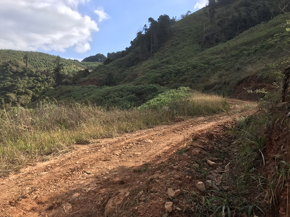
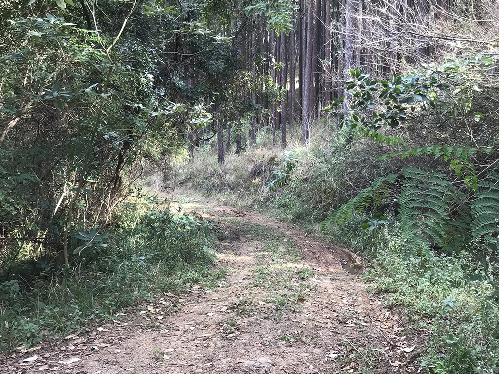
This trail starts at the Nelshoogte Forestry Station Houthuis and is perfect for those that don’t want to drive the 7km gravel road to Queens Base Camp. The road to the log cabin is tarred all the way. To stay at the Nelshoogte Forestry Station Houthuis and then hike the 12.7 km to the Queens Base Camp. The trail also offers two separate dams for those interested in bass fishing. The trail takes you through Pine plantations and natural bush with an option of passing a beautiful waterfall and a natural pool to cool down.

Day 2 – Oukraal Trail
- Starts with yellow trail boards & then back with white trail boards
- 0Distance : 13 km
- !Max Elevantion: 1490 m
- "Min Elevation: 923 m
- Overnight Venue: Queens River Adventure Camp
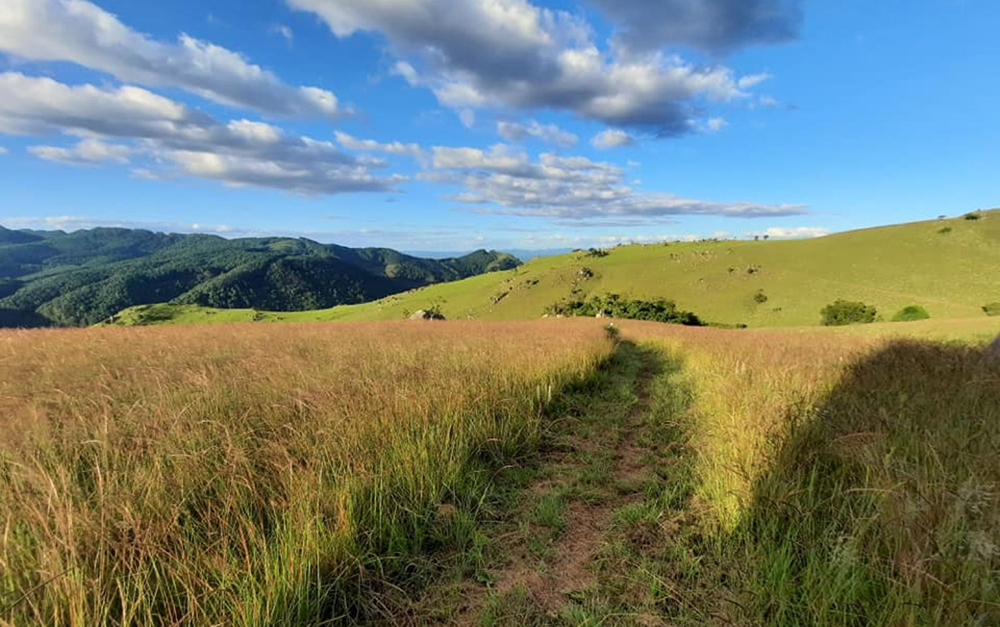
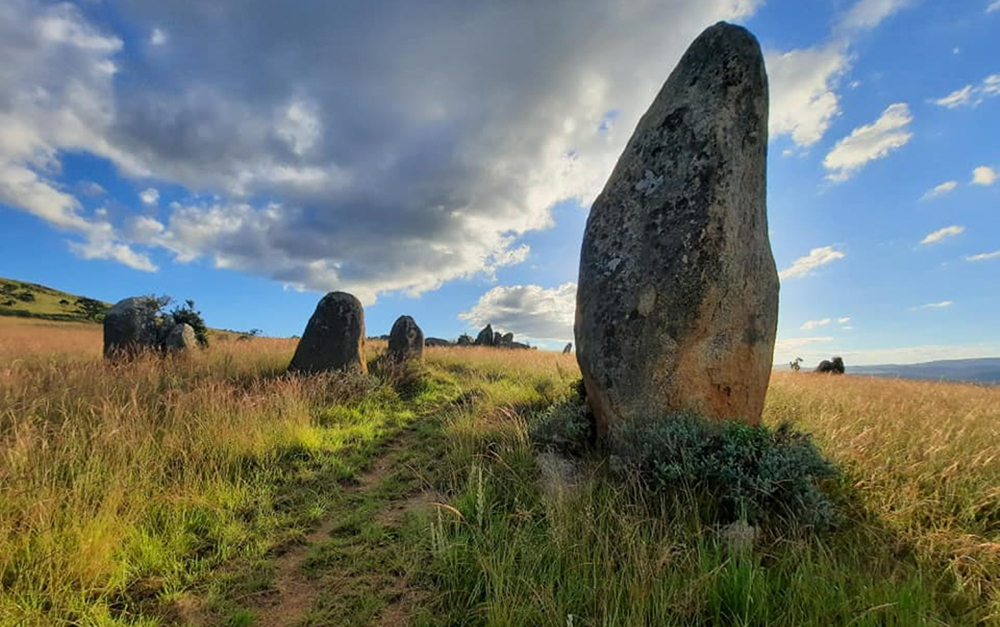
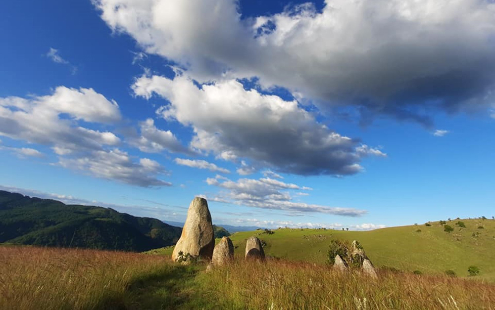
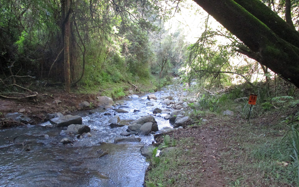
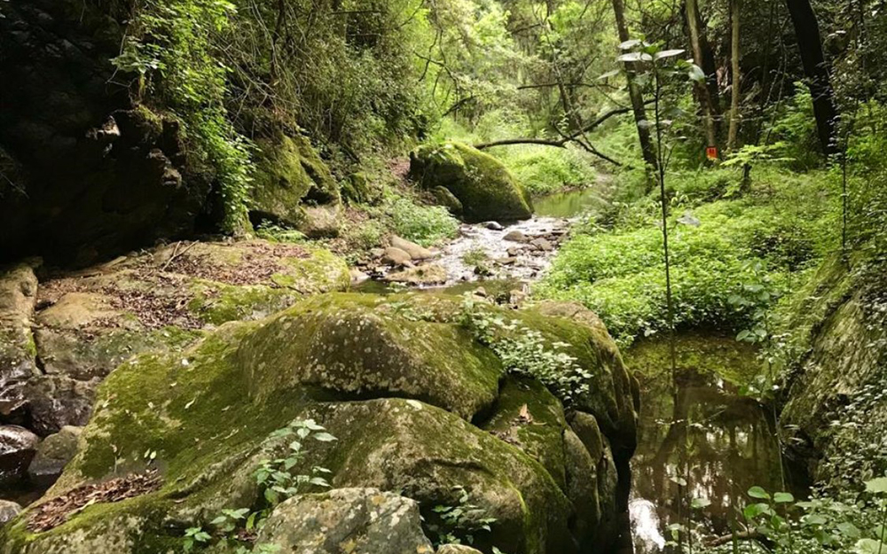
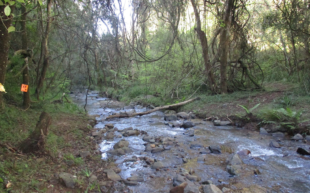
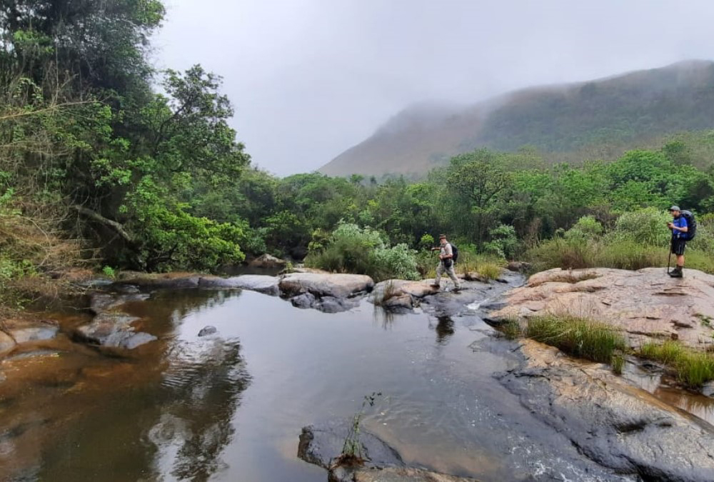
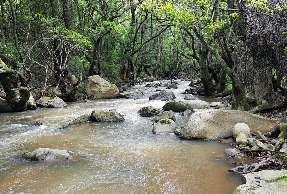
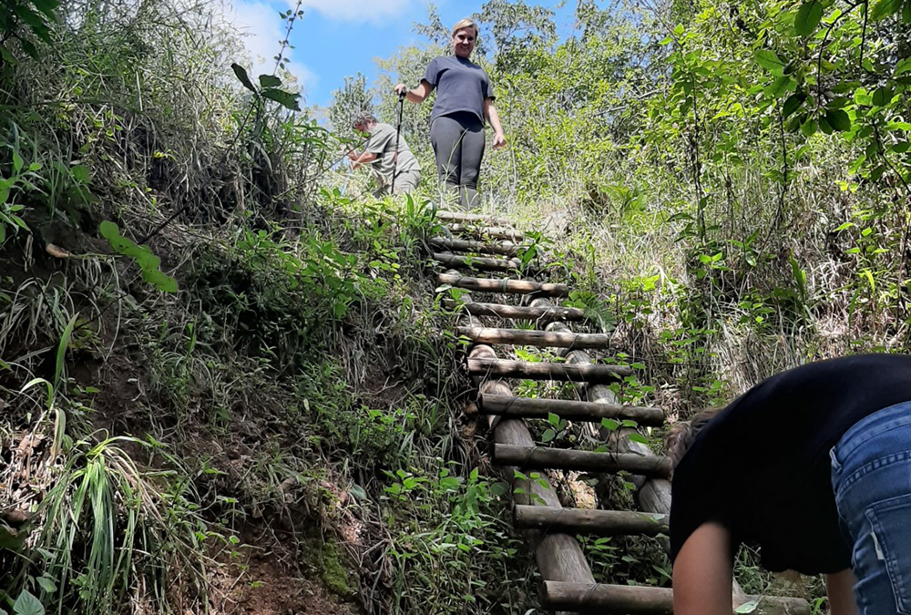
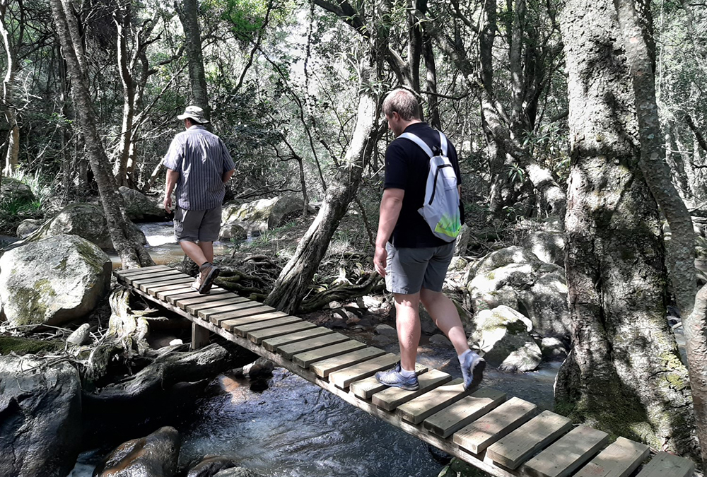
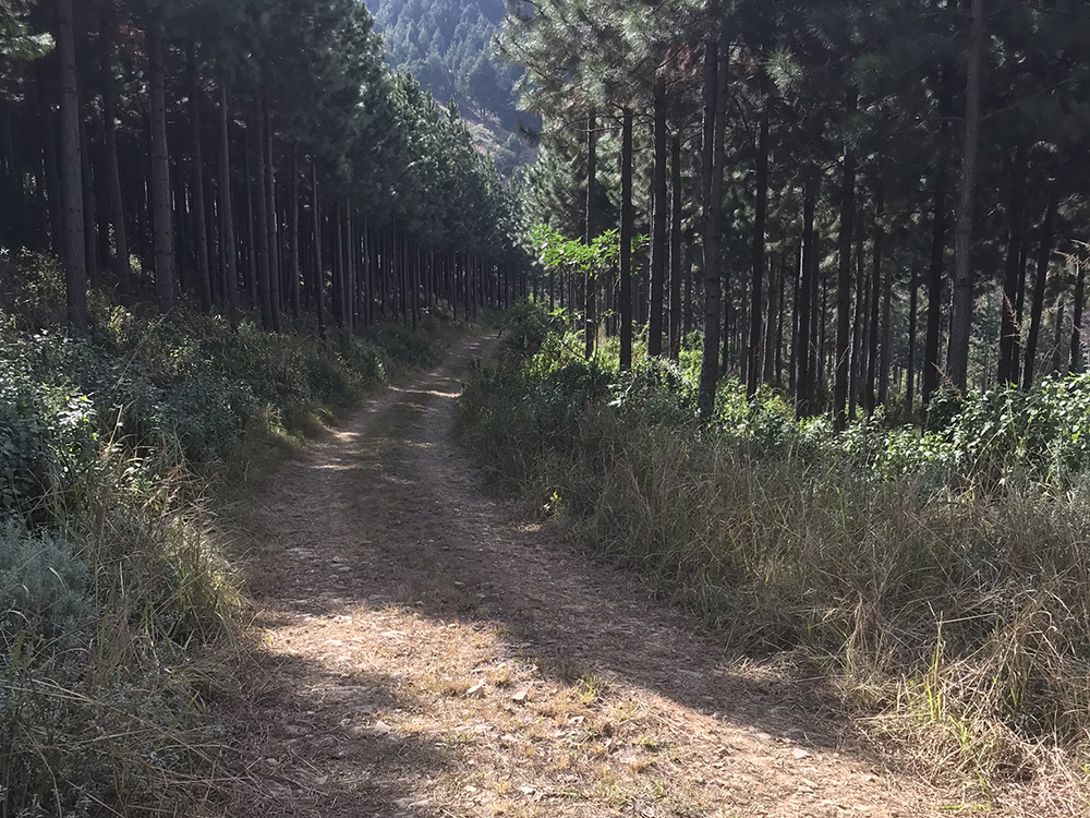
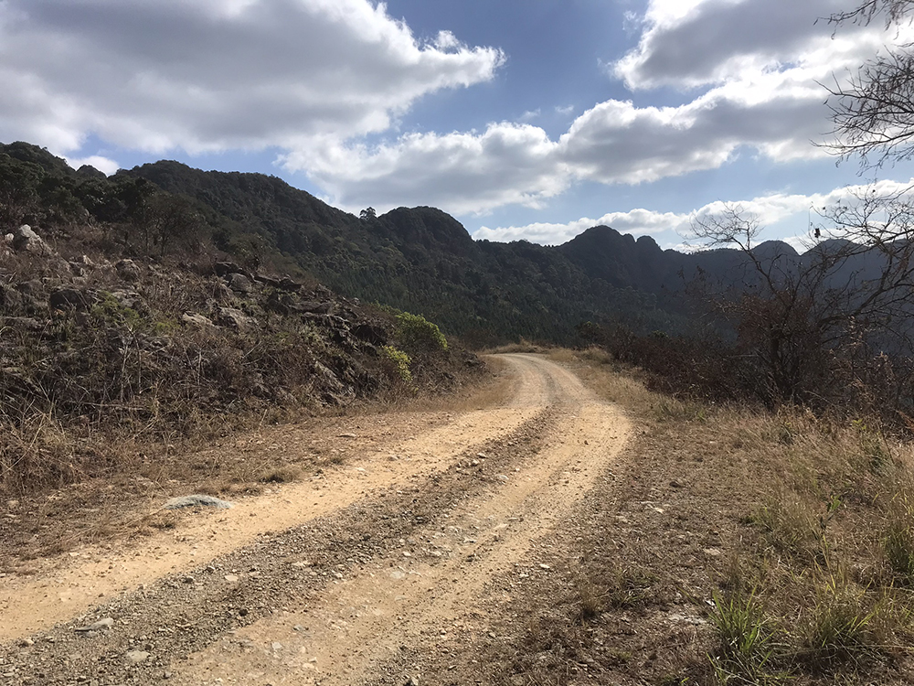
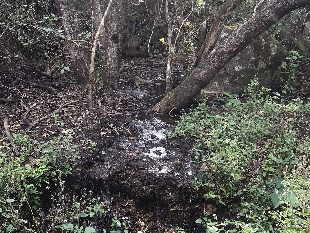
This 13 km trail starts and ends at Queens River Base Camp, it offers a bit of everything, starting off with a pine forests trail that continues all the way to the top of the mountain, through grasslands and a special rock outcrop (our very own Stonehenge), passing a spring where you can fill up with ice cold mountain water. It then descents down the mountain with a zig-zag, this can be tough going down, we suggest wearing tight shoes or two pairs of socks. Hiking to the Matumi Lane Bush Camp and then following the Matumi Lane Trail for the second leg of 6.5 km that brings you back to the Queens Base Camp through the Queens River Nature Reserve and the Nelshoogte Plantation following the Queens River. Along the route you will be treated to a wide variety of indigenous plants and animal species, including the 350 types of birds that are found here. There are several river crossings with wooden bridges, natural pools to cool down in and a spectacular cascade waterfall. This trail has areas that compare to a scene out of a fairy tale movie.
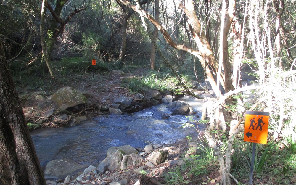
Day 3 – Montrose Trail
- Marked with orange trail boards
- 0Distance : 13 km
- !Max Elevantion: 1490 m
- "Min Elevation: 923 m
- Overnight Venue: Matumi Bush Camp
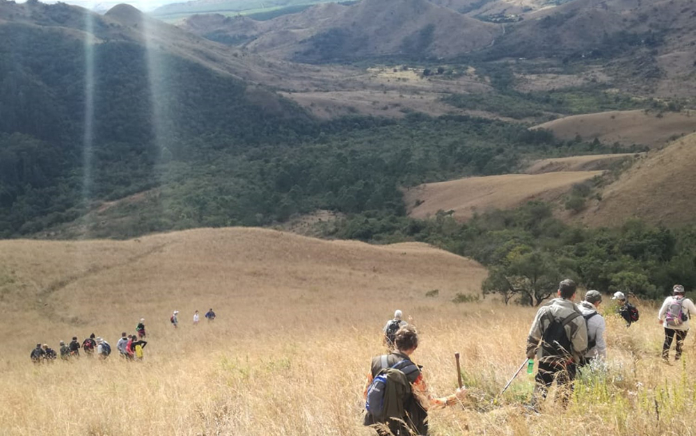
It winds 13 km through mountain passes, indigenous forests and with 23 stream crossings (some with wooden bridges), through the Montrose Valley and the Queens River Nature Reserve. You then have two options on accommodation, for those seeking the authentic hiker’s experience and looking for something special, the Matumi Lane Bush Camp Cabin is the place to stay. Nestled amongst the picturesque indigenous bush the cabin looks like it has been plucked straight from the pages of a fairy-tale. For weary hikers this is the perfect remedy for tired feet and the great news for those reluctant to walk is that it can be hired out by non-hikers too. For those that enjoy being out in nature the Matumi Bush Camp is a fenced camp in the Queensriver Nature Reserve. Situated on the banks of the Queens River which offers a basic camping experience, the brave can cool down in the river pools, a lapa to sit around the fire at night, a flushing toilet and a lot of hot water with a gas heated shower. Tents and mattresses can be rented if needed.
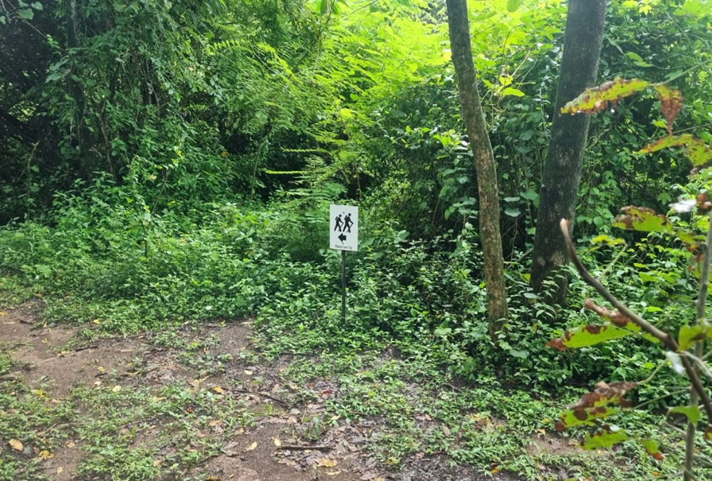
Day 4 – Matumi Lane Trail
- Marked with white trail board
- 0Distance : 7 km
- !Max Elevantion: 1490 m
- "Min Elevation: 923 m
- Overnight Venue: Queens River Adventure Camp
The fourth day is a 6.5 km trail that follows the Matumi Lane Trail back to the Queens Base Camp through the Queens River Nature Reserve and the Nelshoogte Plantation following the Queens River. Along the route you will be treated to a wide variety of indigenous plants and animal species, including the 350 types of birds that are found here. There are several river crossings with wooden bridges, natural pools to cool down in and a spectacular cascade waterfall. This trail has areas that compare to a scene out of a fairy tale movie.
Day 5 – Matumi Road Trail
- Marked with bright yellow trail board
- 0Distance : 7 km
- !Max Elevantion: 1490 m
- "Min Elevation: 923 m
- Overnight Venue: Matumi Bush Camp
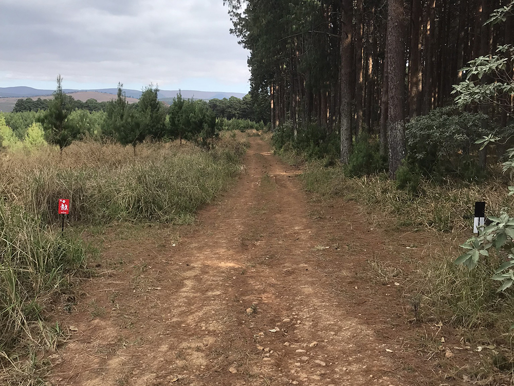
The fifth day takes you from Queens Base Camp hiking 6.5 km to the Matumi Lane Bush Camp. The trail follows a section of our MTB 1 trail on the dirt road. The trail goes through the Nelshoogte Plantation and the Queens River Nature Reserve. Along the route you will be treated to a wide variety of indigenous plants and animal species, including the 350 types of birds that are found here.
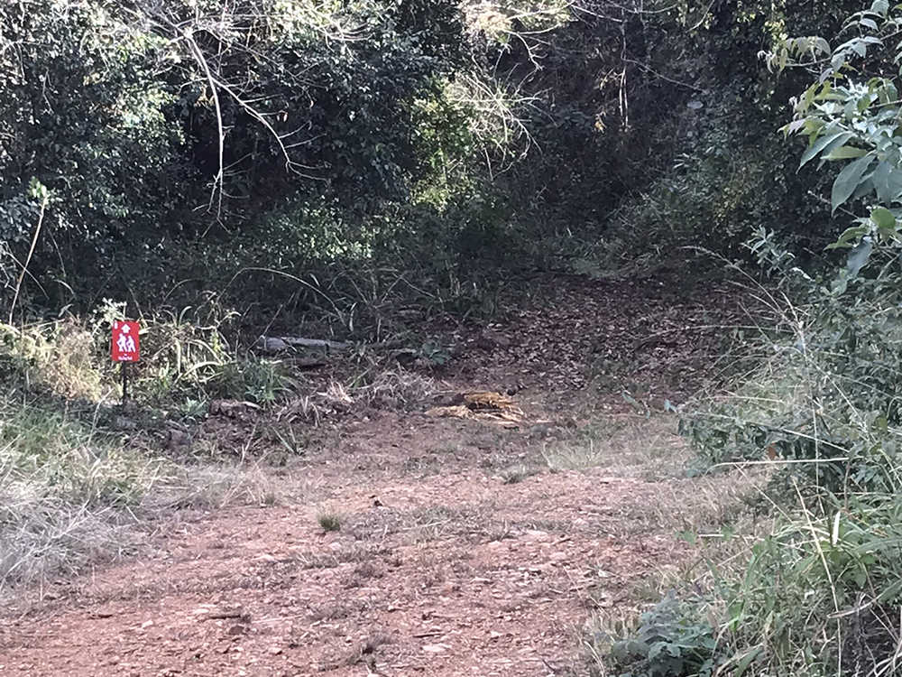
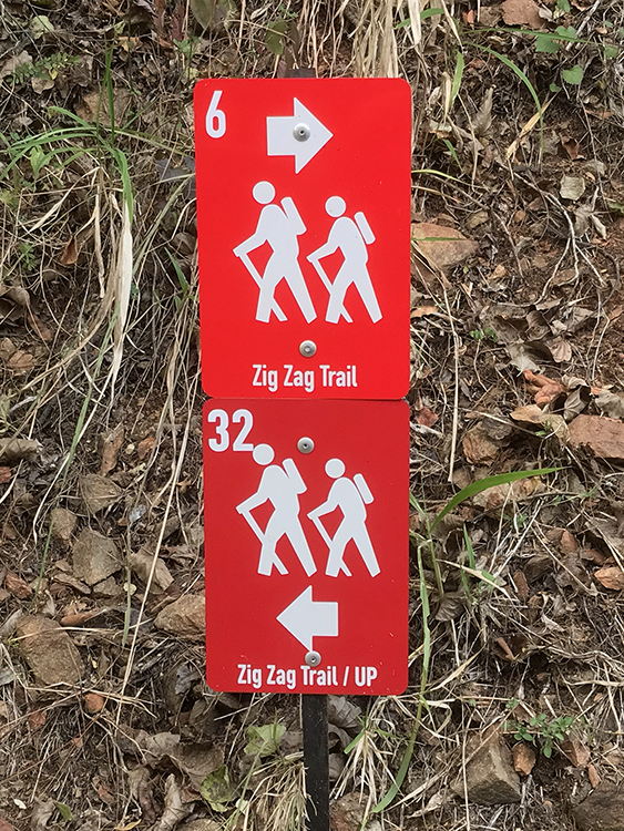
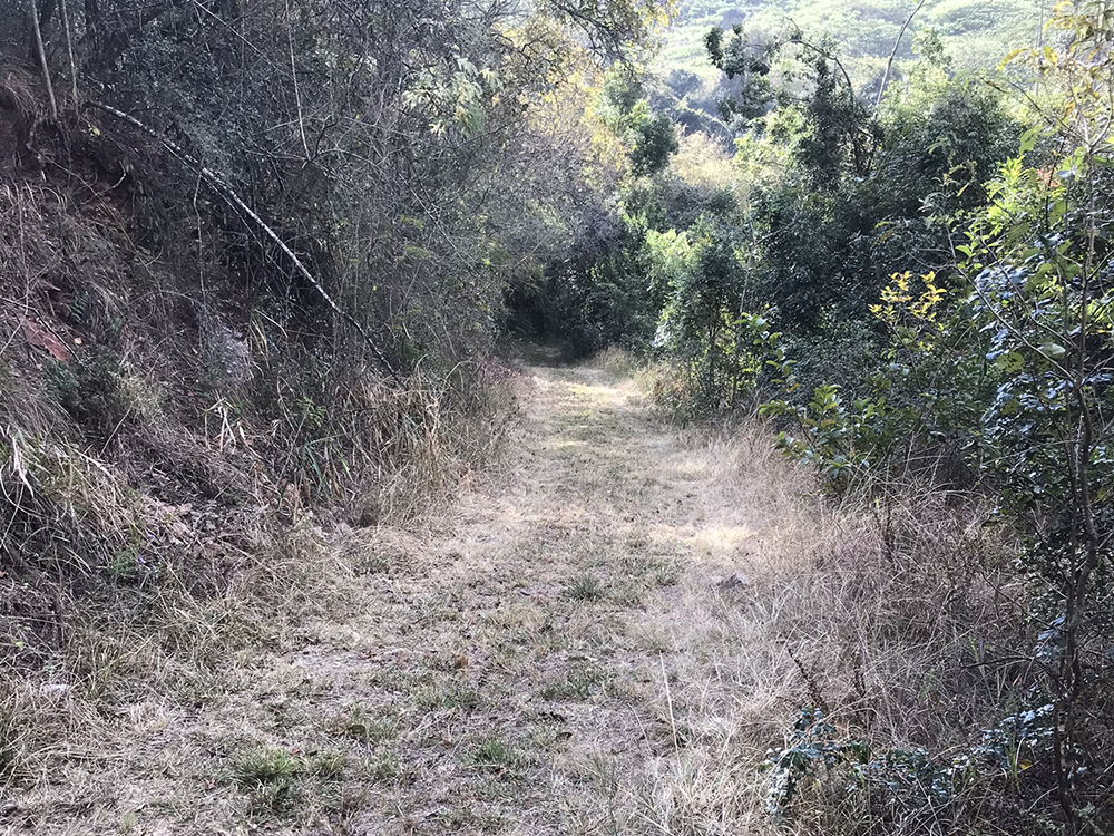
Day 6 – Zig Zag Trail
- Marked with red trail boards
- 0Distance : 16 km
- !Max Elevantion: 1490 m
- "Min Elevation: 923 m
- Overnight Venue: Optional after hike
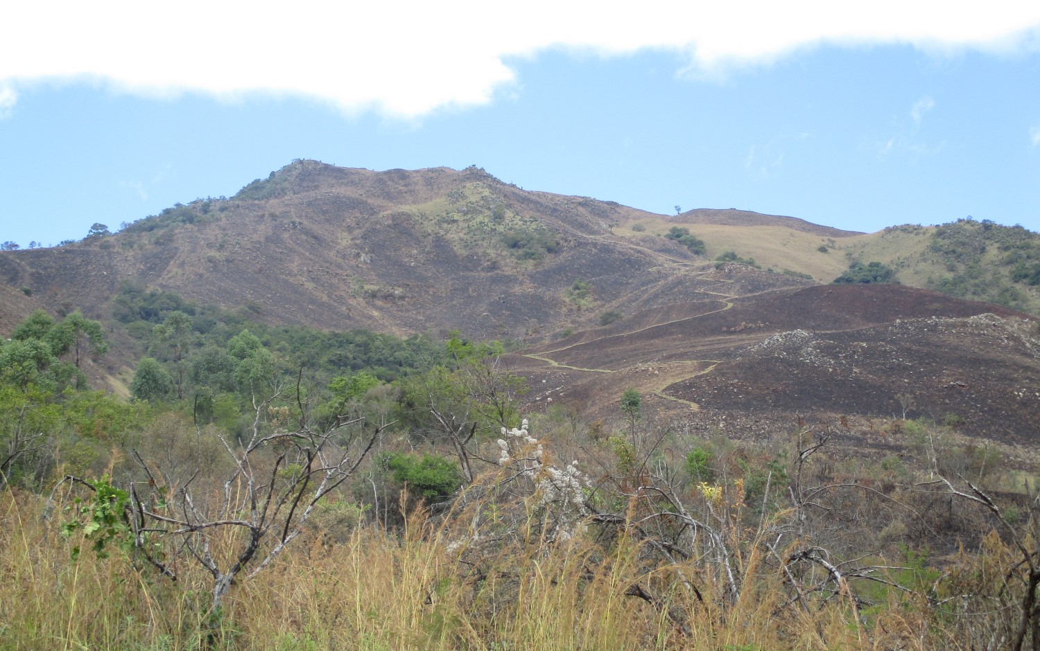
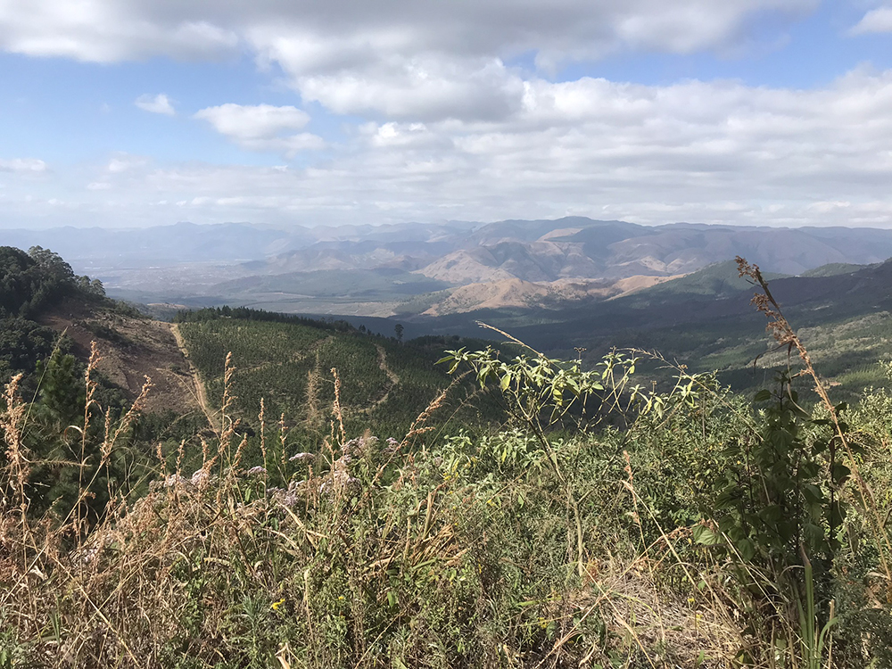
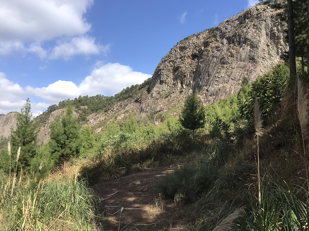
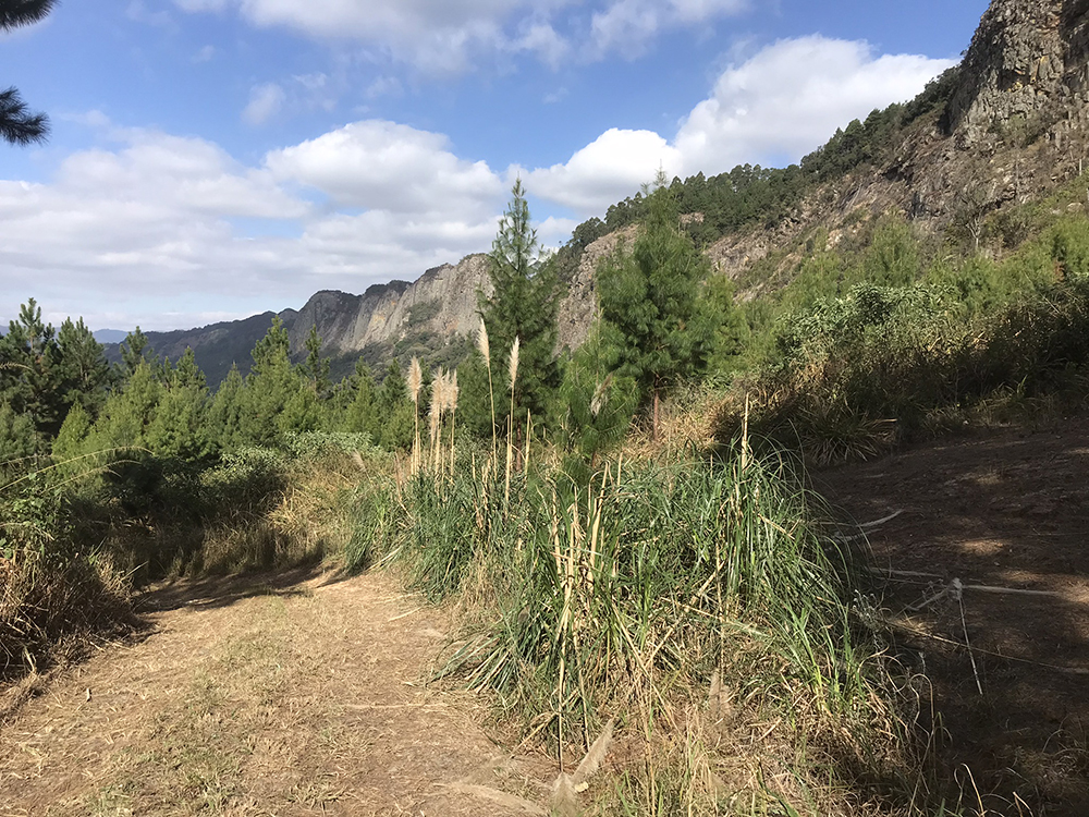
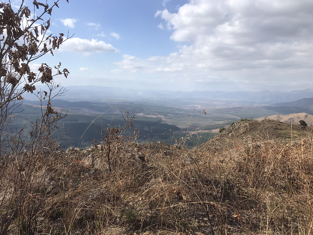
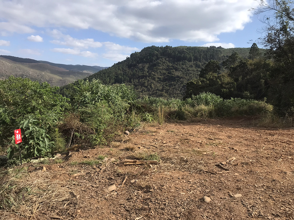
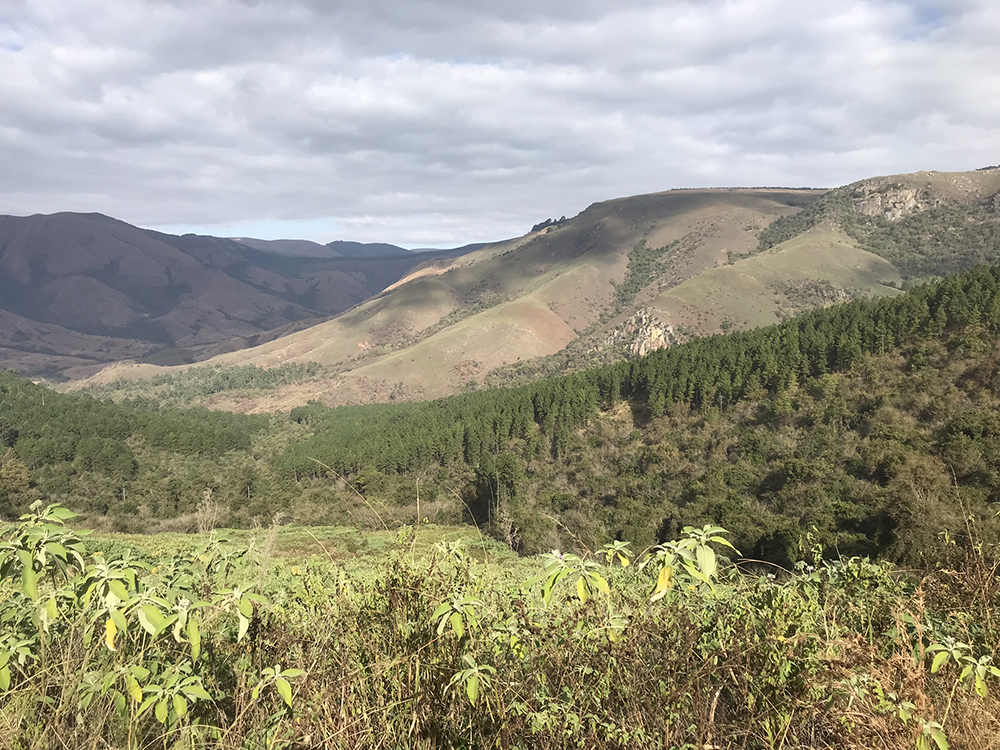
Our newest trail to date. This trail will give you a chance to explore Devils Knuckles, a mountain edge that divides Nelshoogte and the Barberton Basin. It has similar views to Kaapsche Hoop with views over the Barberton valley, a vertical drop of up to 500m on most knuckles. The trail passes a dam for those interested in bass fishing just before reaching the end point which is the Nelshoogte Forestry Station Houthuis.